Cooktown: The End of the Road, Paved that is
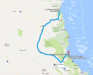
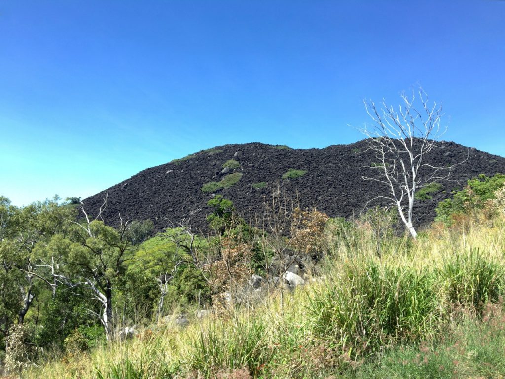
Cooktown is as far north as one can travel on the east coast on paved roads. It’s another brutal 800 km to the extreme northern tip – Cape York. The “road” follows an old telegraph line and is pretty rough on humans and machines with lots of corrugations, potholes and water crossings of various depth, depending on the season. Although both our 4WD truck “Ranger” and our Outback caravan “Silver” have the capability to handle this in the dry season, we can’t see the value of being beat up just for bragging rights. We figured Cooktown would give us the flavor of the peninsula and indeed it was a remote stretch of bitumen that looped around the thick, mountainous Daintree for 260km. We saw little traffic in either direction on the drive up and back. There was some unexpectedly beautiful outback scenery of mountains and plains.
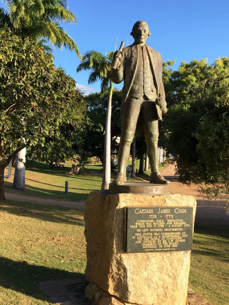
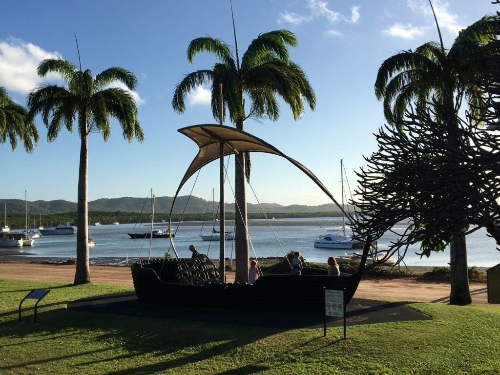
Cooktown has an riveting history. Capt James Cook landed here in 1770 after being shipwrecked near Cape Tribulation on the Great Barrier reef at high tide. Imagine the terror you would feel if you could see land but not be able to reach it as your ship slowly fills with water…none of the crew knew how to swim! The museum in Cooktown has detailed accounts of the ingenious “skin” that was created from bits and pieces and wrapped around the hull which allowed them to continue to the mouth of the Endeavour River at what is now known as Cooktown.
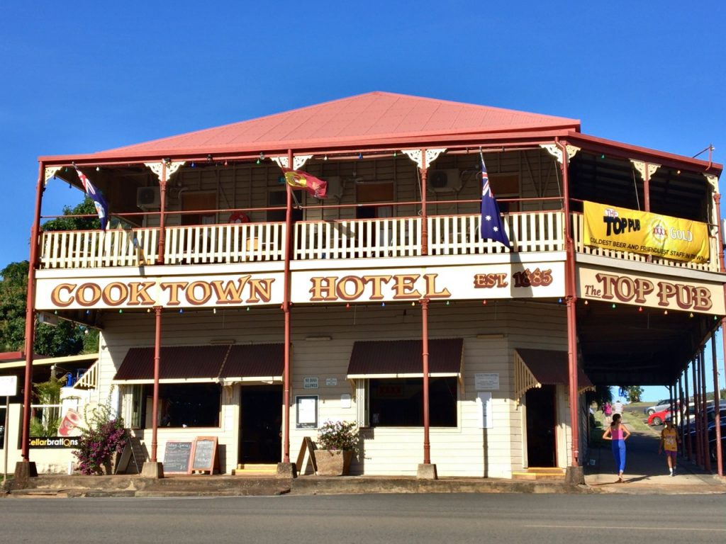
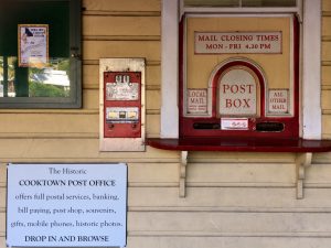
There are any number of heritage-listed buildings in the small town which was at one time the base of a gold rush in 1880. About 20,000 Chinese immigrants populated the area but today we saw no sign of this culture…not even a Chinese restaurant.
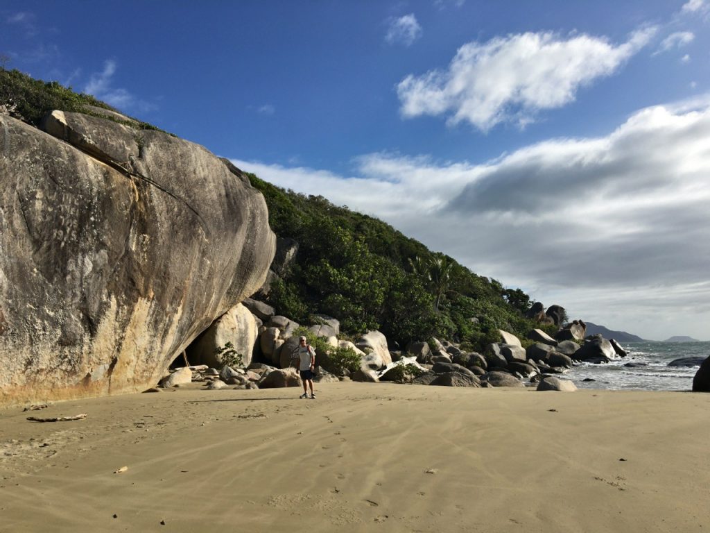
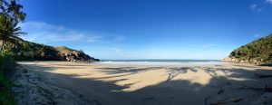
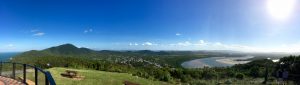
We took a walk one morning to the Botanic Gardens intending to follow part of the Scenic Rim Walking Trail that loops past Finch Bay and Cherry Tree Bay then up to Grassy Hill where the lighthouse stands. We got stymied when we couldn’t find the last leg of the trail from Cherry Tree beach and had to retrace our steps. A couple days later we decided to try to finish the loop by starting at the lighthouse. The trail was easily followed until the very end when, with the sound of the sea just beyond, we had to hack our way through some fallen palm fronds to reach the beach. Joe spent some time on trail maintenance so future hikers wouldn’t suffer the same frustration. On our last day we wanted to climb to the top of Mt. Cook but we spent an hour just trying to find the car park on the poorly identified map and since we couldn’t park the caravan there we had to ditch the idea so we could move on.
15 thoughts on “Cooktown: The End of the Road, Paved that is”
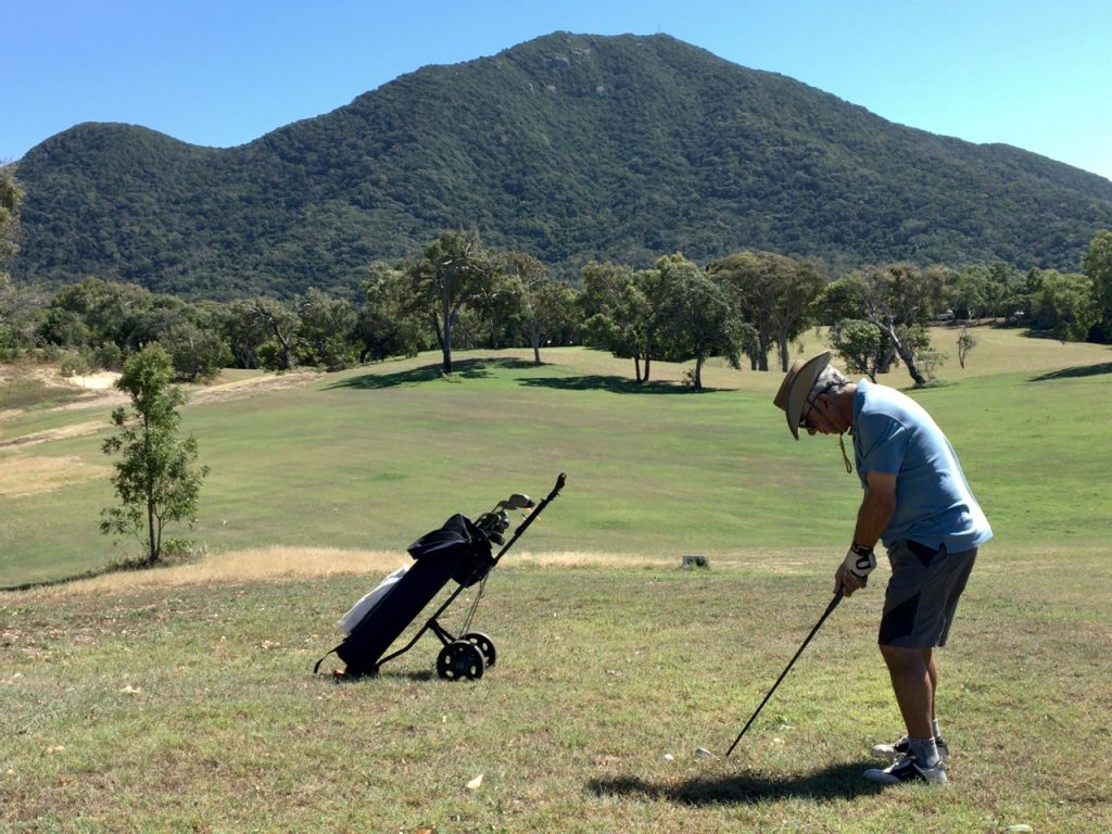
What an adventure you are on. Lovely pictures and we see that you also try to use the golf club.
Love from Susann and Arne
Absolutely fascinating!! I love following your travels – you should do a book!
Love your blog and description of the pictures. Very well done! You have a great knack for this Mary.
H, it all looks great,thank you, Eva⭐️⭐️
I’m reading and looking, Mary. Amazing pics and descriptions.
I’m thoroughly enjoying “experiencing” your travels with you and love the lens through which you see things!
I enjoy the blog. Thanks for the map…Bud
Sounds like you’re enjoying yourselves immensely!
Your photos are beautiful…except the one with Joe in it. JK! Keep on truckin’ and stay safe!
Carol & Mike
“He left nothing unattempted.” What a concept! What a mission to live. I’ll have to put a Capt Cook biography on my reading list.
Hello Mary and ole what’s his name –
Extraordinary reporting on an extraordinary venture. Good for you; and Rick Steves should take notes.
Matty
Hi Mary and Joe,
I love these “ends of the earth” travels! You two must be celebrities as you visit. I’m curious, what did you leave behind in Cooktown?
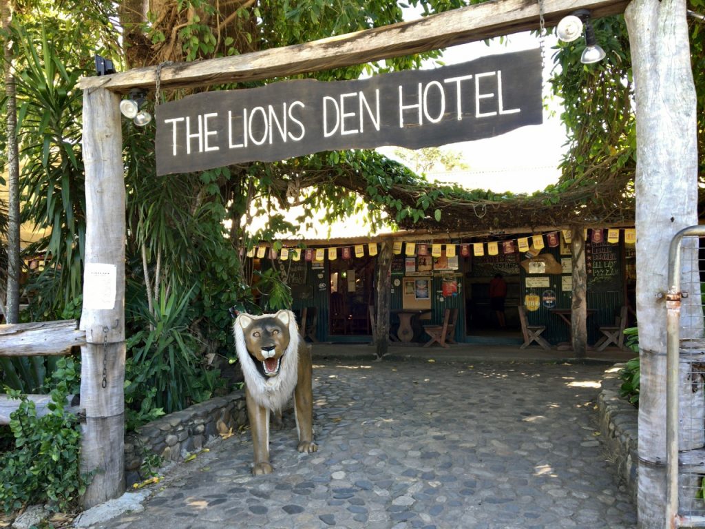
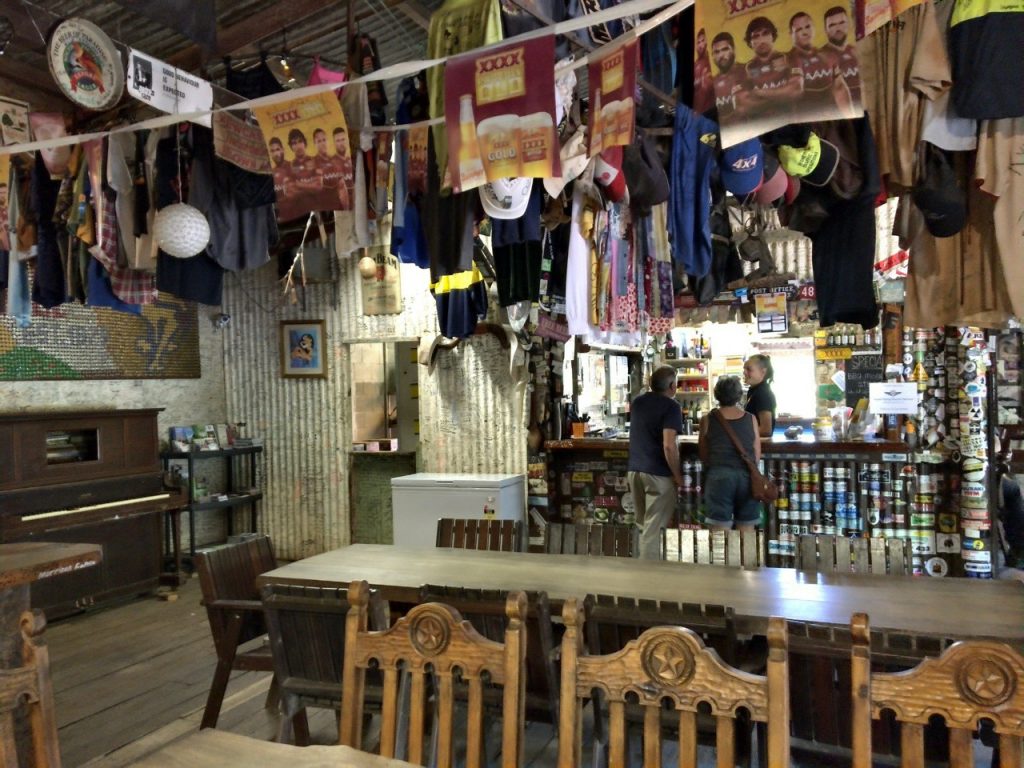
Ditto above, what did you and Joe dedicate to the Lion’s Den Hotel? 😉
Oh and thank you for the map. Maybe better at the beginning of each post? Much appreciated nonetheless!
jacque and don
Lovin’ your travels and stories movin’ around.
Photos are great too.
Keep ’em comin’!
Leave it to Joe to fix up the trail for the next crew. He just can’t stop his home improvement, even if it ain’t perzackly home.
Mary, the composition of your photos is great. Some terrific shots. I think we are living your trip vicariously with you. Just move over, Joe! We experienced fleetingly the Daintree and Atherton plateau with the kids, maybe 25 years ago. It brings it all back.